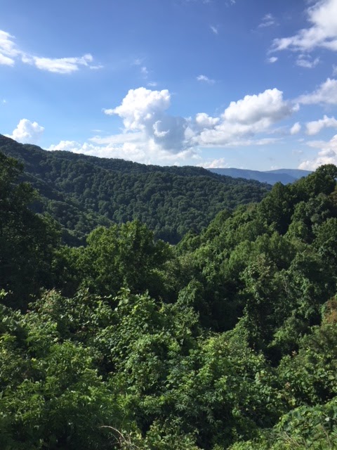
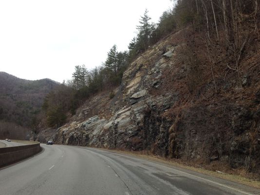
I had to meet with a couple of clients today in the Tri-Cities area of Tennessee and Virginia. Driving up Interstate 26 and crossing into Tennessee at Sams Gap (Elevation 3,760) it struck me that the border between Tennessee and North Carolina is essentially a green wall of mountains from the south to the north. You can see some of the ridges of my drive on this webpage and in the picture below.
 |
| In TN looking NW towards Johnson City |
When I cross the state line on Interstate 40 from Haywood County, NC to Cocke County, TN, I have to drive through the Pigeon River gorge. Again, it is a green wall.
It is no wonder that the Appalachian Trail runs along the state line for about 200 miles.
The roughness of the borderlands between the two states got me to thinking about how determined and hardy the first white settlers who crossed from NC to TN must have been. It is no wonder that the state of Tennessee (or the State of Franklin) was settled first by Virginians and not by North Carolinians.
The first settlement in Tennessee; that is, the North Holston settlement in the present county of Sullivan, and the South Holston settlement, on the Watauga, in the present county of Washington, were effected between the treaty of Hard Labor in 1768, and the experimental survey of the Virginia-North Carolina line in 1771, while all the territory so settled was still believed to be a part of Virginia. There are geographical reasons sufficient to explain why the founders of these settlements should have come, in the main, from Virginia rather than from North Carolina. In the first place, the Blue Ridge that separates Virginia from Tennessee numbers among its range of towering hills Mt. Mitchell, the highest peak east of the Rocky Mountains, and was at that time almost impassable.a Even as experienced and able woodsman as James Robertson, when crossing the range in 1770, was lost in the trackless mountains and wandered, without food, for fourteen days; and finally owed his extrication to his good fortune in meeting up with some hunters, who relieved his distress and enabled him to reach his home in safety. On the other hand, the Appalachian Valley was an easy and natural route from Pennsylvania and Virginia to the Southwest. When the watershed changed from the Alleghany Mountains to the Blue Ridge, it left the valley open, like the mouth of a funnel, to empty the population from the eastern watershed in Virginia to the western watershed in North Carolina; whose north line had not yet been located and was still unknown.
Until I read this, I didn’t realize that the westward migration into Tennessee actually was more of southwestward migration and not due west from the coastal plains and Piedmont sections of North Carolina. Nonetheless, those early settlers of the Volunteer State, whether from Virginia, Pennsylvania, Maryland, or North Carolina were hardy men and women and I salute them.


That they were. Rough country, even today!
Mount Mitchell is in North Carolina…
I think the point was that Mt. Mitchell was part of the Blue Ridge chain and not that it was in either TN or VA.
I just finished a three year project as a consultant on a Dam reconstruction at the west end of the tail of the dragon road in TN.. that is some rough country!
My people migrated from Watauga County NC into Carter County TN. My grandparents home is under Watauga Lake. Tough country bred tough people as the British discovered at Kings Mountain.